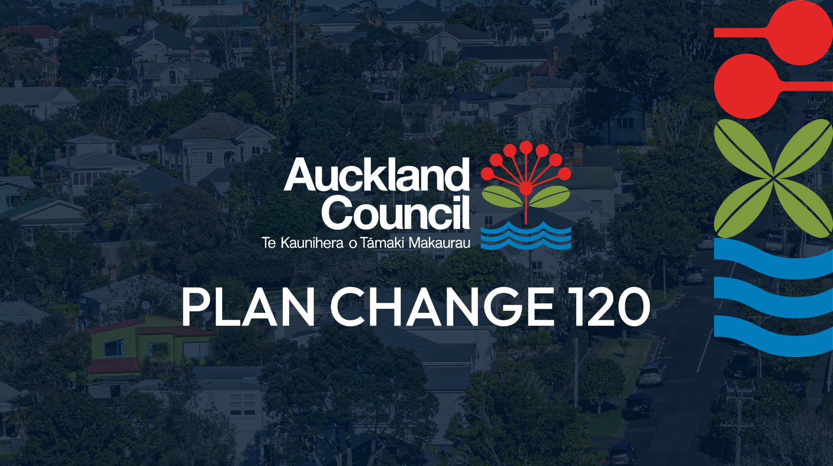
The PC120 Shake-Up: How Auckland’s Housing Map Is About To Change
Auckland is preparing for one of its most significant planning shifts in years. Plan Change 120(PC120), part of Auckland Council’s Future Housing Plan, proposes to reshape where homes can be built, how dense neighbourhoods can become, and which areas will face tighter development rules due to natural hazards. This guide explains PC120 in clear, practical terms so buyers and investors can understand what is changing and why it matters.
What Is PC120?
PC120 is a proposed change to the Auckland Unitary Plan, the rulebook that determines land use and development across the region. The plan aims to increase housing capacity in well-connected areas while strengthening controls in locations exposed to flooding, coastal erosion and other natural hazards.
According to Auckland Council, PC120 intends to:
- Allow more homes near public transport, town centres and major employment hubs.
- Enable more medium and high density housing where infrastructure can support growth.
- Apply stronger rules to high risk hazard areas, particularly flood zones.
These changes respond to updated government direction on intensification and updated hazard information following Auckland’s severe weather events in 2023.
For anyone looking to buy, develop or invest, PC120 defines where opportunities may grow and where constraints may tighten.
Key dates to know
By 10 October 2025: Council seeks Minister for the Environment’s approval to notify.
30 October 2025: Expected public notification of the decision to replace PC78, subject to the Minister’s agreement.
3 November – 19 December 2025: Public submissions are expected to open on 3 November 2025 and close on 19 December 2025.
Why Is Auckland Updating Its Housing Rules?
Growing Demand for Well-Located Housing
Auckland continues to face a shortage of housing near transport, schools, employment centres and essential services. PC120 targets this by encouraging more homes within walking distance of train stations, rapid bus routes and town centres. These locations already have infrastructure in place, making them suitable for higher density development.
Lessons from the 2023 Floods
The 2023 Auckland floods highlighted the risks of building in low lying or unstable areas. Council investigations showed that some neighbourhoods are more vulnerable than previously understood. PC120 incorporates updated hazard maps and introduces stricter requirements for development in floodplains or erosion-prone areas. The goal is to avoid increasing risk for future residents and to improve long term resilience.
Shifting Away from Blanket Zoning Rules
Earlier national standards required most residential sites to allow up to three homes of up to three storeys. PC120 moves away from this approach in favour of more targeted zoning. Areas near transport nodes are proposed for significant upzoning, while hazardous areas may see their development capacity reduced. This creates a more nuanced and location-specific planning framework.
Key Changes Proposed in PC120
Higher Density Near Transport and Centres
Many areas around major rail stations, rapid bus corridors and the city centre are proposed to allow more intensive housing. Some locations may support buildings of up to fifteen storeys, while others may permit medium rise options such as four to six storeys. This is intended to support walkable, connected communities and improve housing supply where demand is strongest.
Restrictions in Hazard Areas
PC120 includes new controls on development in areas identified as being at risk from flooding, coastal erosion or land instability. Properties in high risk zones may:
- Face additional design and engineering requirements
- Require more detailed assessments to obtain consent
- Be limited to lower density or single dwelling development
The intention is to ensure safety and reduce long term exposure to hazard risks.
Ending One Size Fits All Zoning
PC120 replaces the broad three homes, three storeys rule with a more refined set of planning controls. Density will now depend on proximity to transport, infrastructure capacity and hazard risk. This approach gives clearer signals about where future growth is expected and where development may be constrained.
To explore official zoning information, property owners and buyers can use Auckland Council tools such as the Auckland Unitary Plan Viewer and Auckland Council GeoMaps.

Mangere-Otahuhu draft PC120 Map from Auckland Council
What PC120 Means for Home Buyers
More Housing Options in Connected Areas
If you are searching for a home near public transport or close to the city, PC120 could bring more choice. Townhouses, terrace homes and apartments may become increasingly common in central and well-serviced suburbs. This variety may also support greater affordability by expanding the range of available housing types.
Understanding Hazard Controls
For buyers considering properties in coastal or low lying suburbs, hazard overlays will be important. Homes in these locations may face limits on redevelopment or require additional resilience measures. Elevated or lower risk areas may benefit from greater long term stability. Reviewing hazard maps before making purchasing decisions is increasingly essential.
Expert Insight- Properties that fall just outside of hazard overlays but remain close to transport routes may see strong demand due to their combination of safety, accessibility and future development potential.
How Buyers Can Prepare
Buyers should review zoning maps, hazard overlays and future growth plans when evaluating properties. These tools help confirm whether a home is in an upzoned area or one where new constraints may apply.
What PC120 Means for Property Investors
Increased Development Potential in Upzoned Areas
Investors with land near train stations or rapid transport corridors may gain additional development capacity. Higher zoning can mean greater design flexibility and potentially stronger returns, particularly on sites with favourable layouts or frontage.
Expert Insight- Corner sites and wide frontages often benefit more from increased height allowances because they provide greater design efficiency for multi unit developments.
Risks for Properties in Hazard Zones
Sites located in high risk flood or erosion areas may see reduced potential for redevelopment. New building requirements may increase costs, and some proposals may be unlikely to receive consent. Understanding these constraints early is important for long term planning.
Strategy Matters More Than Ever
Investors should consider both zoning and hazard information, as well as infrastructure capacity and local demand. A well informed strategy supported by accurate planning data can help identify opportunities while avoiding areas with limited future potential.
Expert Insight- Some hazard affected areas may be earmarked for resilience upgrades or infrastructure improvements. These locations can offer future value once works are completed, provided risks are well understood.
PC120 FAQ: Common Questions
Q. When does PC120 take effect?
Submissions are open until 19 December 2025 on the Auckland council website. Final decisions are expected by mid 2027 following a review by an independent hearings panel.
Q. How do I check if my property is in a new zone?
Auckland Council provides official tools such as the Auckland Unitary Plan Viewer and GeoMaps to check zoning and hazard information. You can check the current zoning and development potential with our feature at hougarden.com.
Q. Are all suburbs being upzoned?
No. Areas closer to transport and centres are prioritised for growth. Hazard areas may face reduced development options.
Q. Can I still build in a hazard zone?
Development may be possible but will require more detailed assessments and may need to meet higher engineering or design standards.
Q. Will all upzoned areas be redeveloped?
Zoning changes create opportunities, but redevelopment depends on market demand, site characteristics and owner decisions.
Conclusion:
Planning a Resilient and Connected AucklandPC120 represents a major shift in how Auckland manages growth. By promoting more homes in transport rich areas and limiting development in high risk zones, the plan aims to support a safer, more connected and more sustainable city. For buyers, this may mean increased choice and clarity about future neighbourhoods. For investors, it highlights where long term opportunities are most likely to emerge.
Understanding zoning, reviewing hazard information and staying updated on council decisions will be essential as Auckland’s planning landscape continues to evolve.